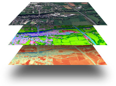
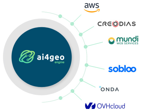
AI4GEO Engine is a full-web and collaborative Virtual Research Environment dedicated to Earth Observation and geolocated data exploration & transformation. Researchers, scientists and developers leverage on AI4GEO Engine to develop new processing chains, AI models and value-added applications easier and faster.
AI4GEO Engine offers a unique access to the major Earth Observation catalogues and hundreds of geospatial datasets (IoT, National statistics etc.). AI4GEO’s fast-prototyping environment enables researchers and scientists to test small parts of code, annotate and visualise results in the same page.
With a wide range of AI frameworks and image processing toolboxes already integrated, AI4GEO lets researchers and scientists focus on their work and go beyond the state of the art.

Researchers, scientists and developers can easily share their work with their teams and external communities, through code sharing or interactive interfaces. Chat and WIKIs are also here to foster innovation through knowledge sharing.
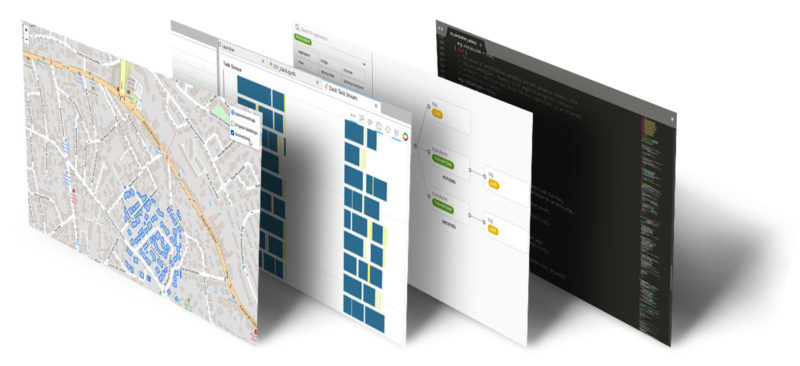
With its full-web code editor, developers can debug their algorithms and use version control system to manage their code throughout its lifecycle. An integrated pipeline enables developers to turn their algorithms into robust, interoperable and cloud-ready geodata applications.

AI4GEO engine offers powerful full-web 2D and 3D rendering engines directly integrated in its prototyping environment. It also offers a virtual desktop with GIS tools (QGIS, Monteverdi etc.) accessing the same data and computing resources than in the prototyping environment.
It has never been easier to turn scientific algorithms into geodata applications. AI4GEO engine enables developers publish their applications on major catalogues of Earth Observation applications in one click.
